
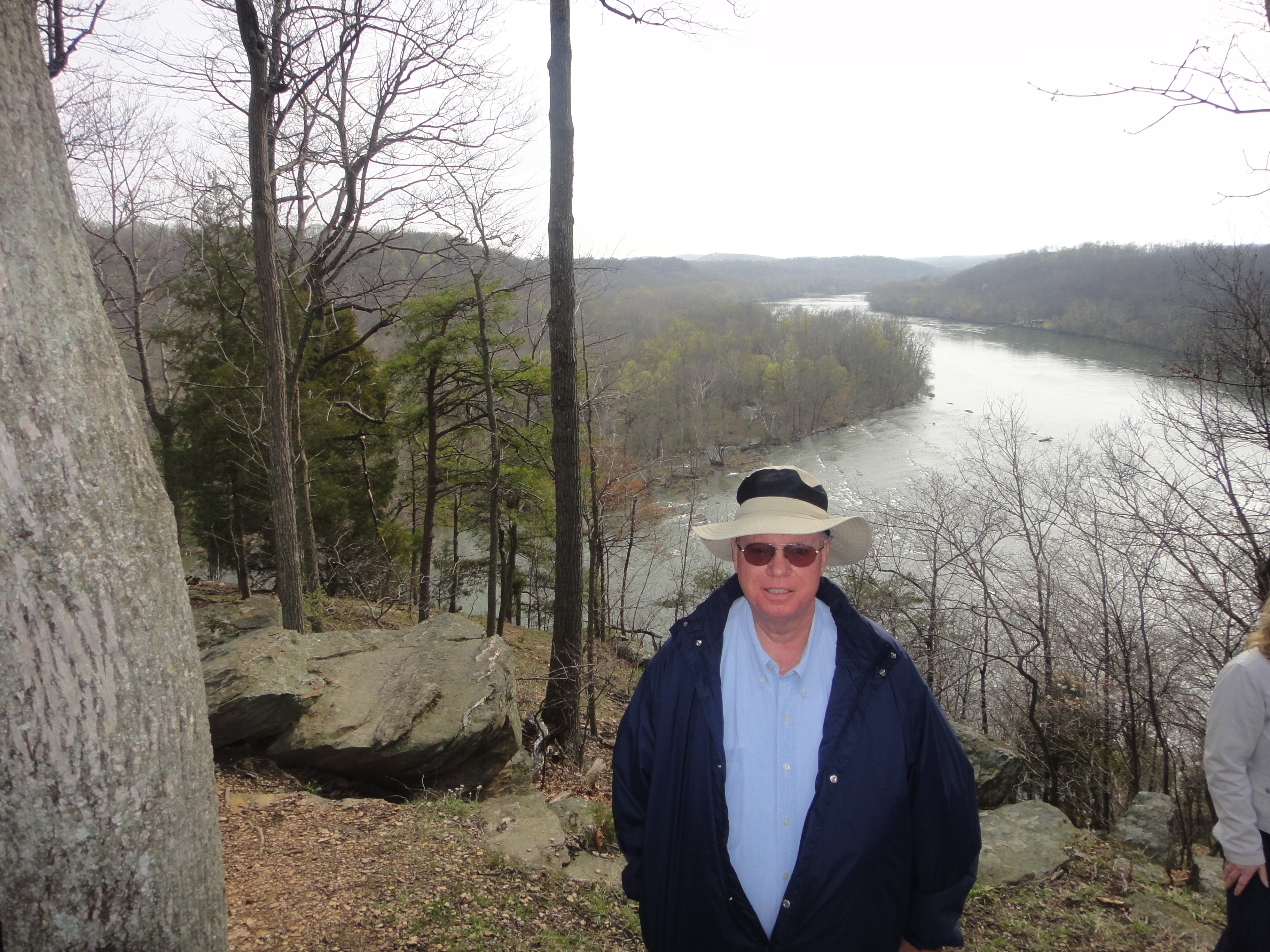
Antietam farmland
We spent all day touring the Battlefield of Antietam, located just outside of Sharpsburg, MD, along the Antietam Creek. During the Civil War, the north called this the Battle of Antietam, to the south it was Sharpsburg. You can see why!
The area is just beautiful – rolling hills of pastures. It is hard to believe such a deadly battle took place on this land! The region was settled by German immigrants who were primarily of the Dunker religion. These settlers were pacifists, which means they opposed the war. Their land would come to be known as the “Bloodiest soil in America.” The Battle of Antietam was featured in the History Channel’s program, Ten Days that Changed America. Check it out 🙂
We toured all of the important sites of the battle – the Cornfield, the Dunker Church, Bloody Lane, and Burnside Bridge. This was an important battle for both sides during the war. It took place on September 17, 1862, just before important elections in the United States. If the north had lost, this would have hurt Lincoln’s war efforts. His political foes, the Democrats, who did not support the war, might have won more seats in Congress. Also, the south would have been able to commence their invasion of the north. With a southern defeat, Lee would be pushed back across the Potomac into Virginia, halting his planned invasion.
This battle would be won by the north, the U.S. Army. Just five days after Antietam, Lincoln would issue his famous Emancipation Proclamation, turning this into a war to preserve the Union and end slavery.
There are famous images from the battle from the war photographer, Alexander Gardner, who arrived and took pictures of the tragedy.

Bloody Lane at Antietam

Burnside Bridge


")


")


